Synspective

  • IR
  • About us
  • Careers
English 日本語
  • Data
    • SAR Data
    • Data Platform
  • Solutions
    • Land Displacement Monitoring (LDM)
    • Flood Damage Assessment (FDA)
    • Disaster Damage Assessment (DDA)
    • Offshore Wind and Wave (OWW)
    • Forest Inventory Management (FIM)
  • Satellite
    • More about “StriX”
    • StriX constellation
    • Launch Mission
  • Data Gallery
  • News
    • Press release
    • Information
    • Events
    • Use Case
Contact
BACK
2025.02.12 Events

Synspective On-Demand Class | How to Utilize SAR data: An Introduction to Visualization with QGIS

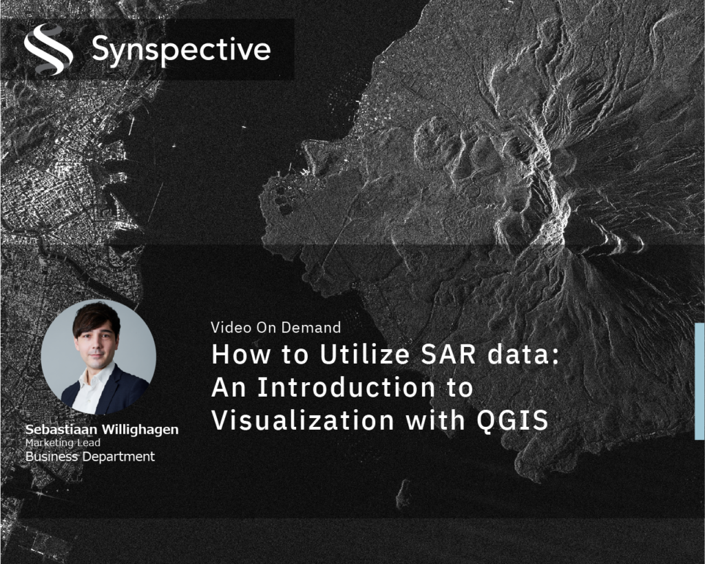
This on-demand tutorial guides you through the essential techniques for visualizing and analyzing SAR data in QGIS. Learn how to use QGIS tools to extract meaningful insights from SAR satellite imagery and apply them to your own projects.

You will learn how to:

  • > Set up QGIS for SAR Data Visualization
  • > Understand and Adjust SAR Image Properties
  • > Enhance Visualization and Interpretation


Tags

  • SAR data
  • sar satellite
  • StriX
  • GRD
  • GIS
  • EO
Previous Synspective Releases First Imagery with Sixth Satellite
Next Article From New Grad to Manager: A Young Leader Shares Growth Secrets
Data
SAR Data
Data Platform
Solutions
Land Displacement Monitoring (LDM)
Flood Damage Assessment (FDA)
Disaster Damage Assessment (DDA)
Offshore Wind and Wave (OWW)
Forest Inventory Management (FIM)
Satellite
More about “StriX”
StriX constellation
Launch Mission
Resources
Data Gallery
Use Cases
Documents
About
About us
Press Kit
News
Press release
Information
Event
Careers
Open Positions

© Synspective Inc.

  • Privacy Policy
  • Security Policy
  • Terms and Conditions