Solution Overview
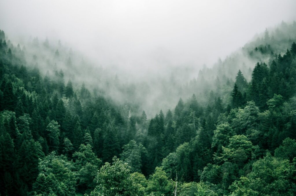
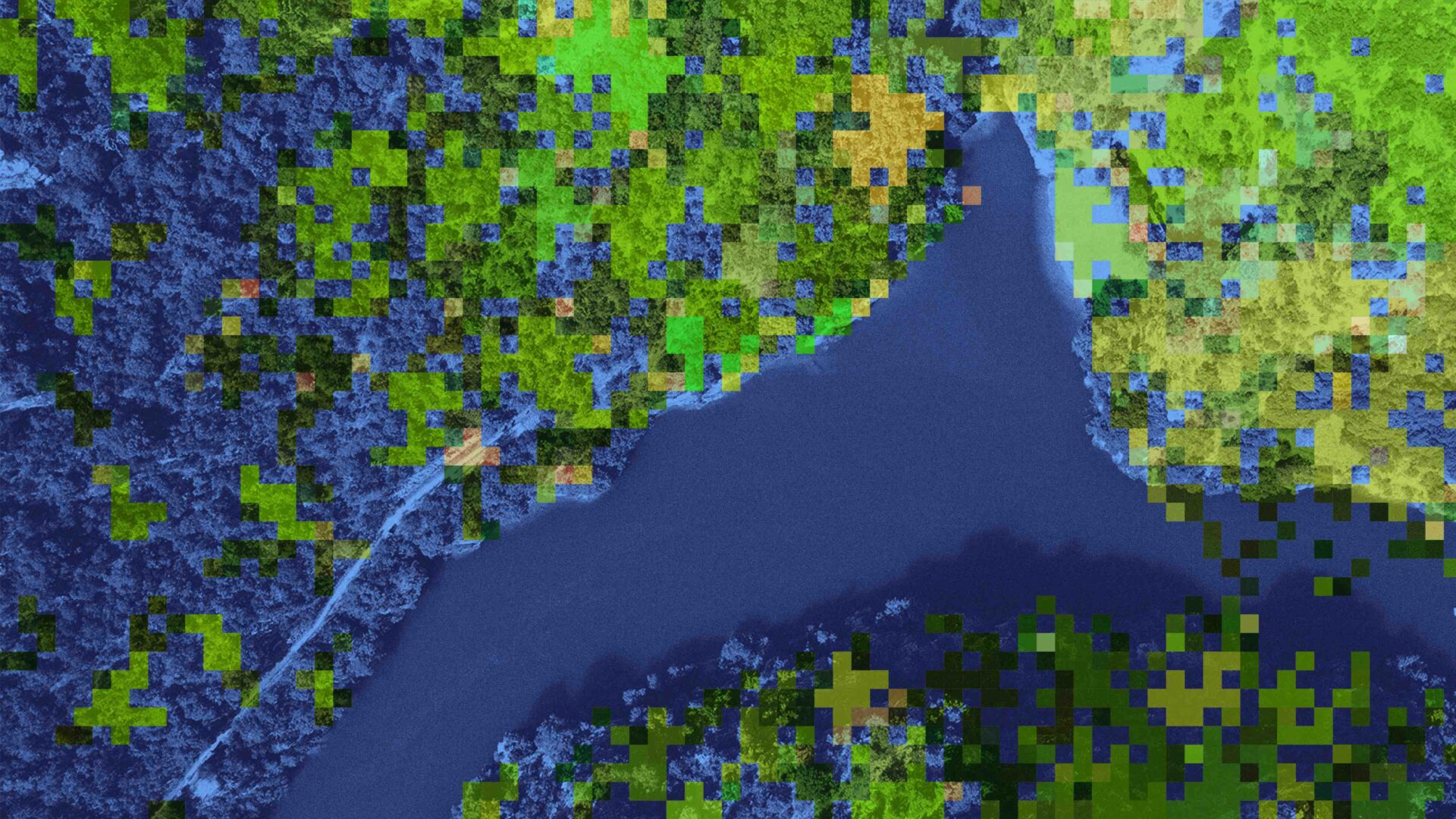
Given the increasing significance of decarbonization, forest preservation has become an important topic. It is said that more than 4 billion hectares in the world are covered by forests and occupy about 30% of all landmass. It is very difficult to set foot on all land, and there are many forests where vegetation and cultivating conditions remain unmanaged. With FIM, various observations such as tree height estimation, biomass estimation, forest fauna classification, logging detection, CO2 absorption, and fixed amount calculation can be performed remotely, making it possible to expand management areas and reduce costs.
Advantages and Benefits
- Vegetation management, tree height estimation, etc., can be simultaneously performed over a wide area
- Acquires data to calculate CO2 absorption for carbon credit
- Capable of monitoring at lower costs than other remote sensing services
- Capable of monitoring in all-weather conditions, night or day
Sectors
- Manufacturing: paper manufacturing companies
- Agriculture, Forestry, and Fisheries: forestry companies
- Oil & Gas
- Business Services: trading companies
- Public Sector: governments and municipalities