

The ocean covers 70% of Earth’s surface, yet historically, satellite companies avoided imaging it. There were no paying customers for ocean imagery, the data storage and processing costs were prohibitive, and the areas were simply too vast to monitor effectively. But the stakes have changed. Illegal, unreported, and unregulated (IUU) fishing alone represents a multi-billion dollar problem affecting coastal economies worldwide. In response, nations such as Canada are dedicating multi-million-dollar programs for satellite-based IUU monitoring through partnerships with commercial providers. Multiple nations are now investing in similar capabilities as they recognize the economic and security implications of unmonitored maritime activity.
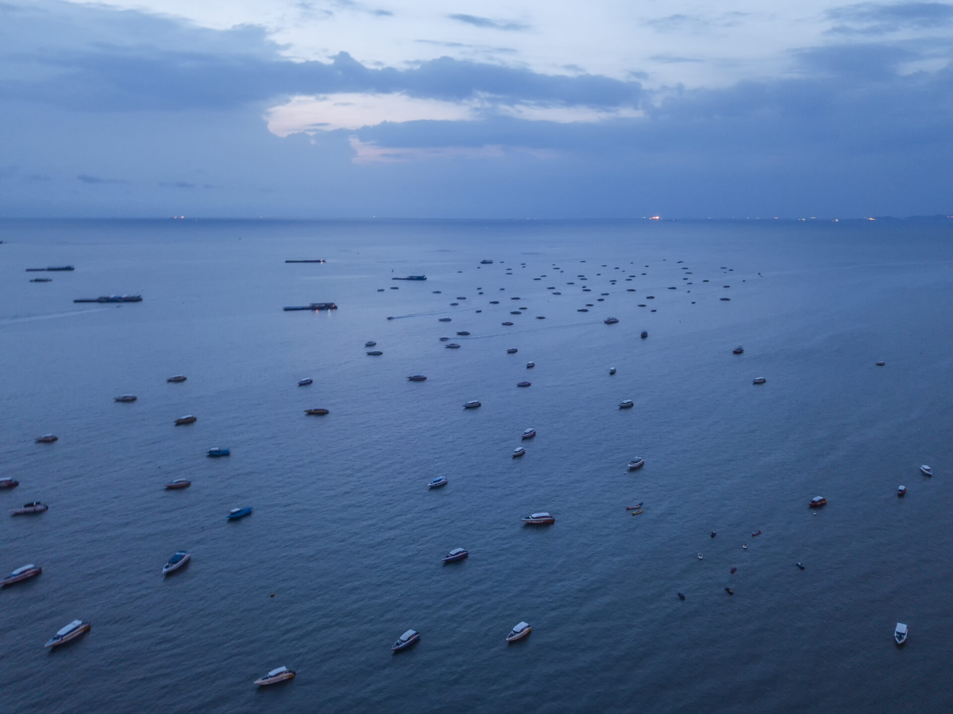
What makes maritime monitoring particularly complex is the adversarial nature of the targets. Ships “go dark” by disabling their AIS transponders, broadcasting false positions to spoof their actual locations, or using transshipment, where vessels meet mid-ocean to transfer catch, obscuring the origin of illegally harvested fish that eventually appears in markets worldwide. These aren’t small fishing boats but industrial vessels, often 40-100 meters long, operating in coordinated groups across international waters.
The Adversarial Challenge
When ships disable AIS, we correlate SAR detections with known patterns of vessel traffic. If ten ships appear in SAR imagery but only nine are broadcasting AIS, systematic comparison identifies the dark vessel. For spoofing detection, when AIS claims a ship is 100 kilometers from its actual SAR-detected position, the deception becomes clear. The breakthrough isn’t any single sensor but the intelligent orchestration of multiple capabilities. C-band SAR can cover an area of up to half a million square kilometers, identifying areas of unusual activity. X-band SAR then provides detailed imaging at a resolution sufficient to classify vessel types and determine heading and speed. This “tip and cue” approach maximizes coverage while maintaining the precision needed for actionable intelligence. In a recent 24-hour maritime tracking exercise, we faced a challenge that pushed the boundaries of conventional satellite monitoring. Two vessels needed continuous tracking across open waters. Using a fusion of Synthetic Aperture Radar (SAR), electro-optical, Radio Frequency (RF), and Automatic Identification System (AIS) data, the exercise maintained custody of these targets with imagery delivery from Strix satellites in under two hours.
Location accuracy presents ongoing challenges in multi-sensor fusion. Different imaging systems have varying degrees of positional uncertainty, and when tracking moving targets, these discrepancies compound over time. Predictive analytics must account for this growing uncertainty, creating expanding probability zones between observations. Our recent exercise demonstrated why wide-area coverage matters more than pinpoint accuracy when vessels might be anywhere within these growing search areas. The ability to image 20 by 50-kilometer swaths becomes critical when the predicted location could be off by several kilometers.
Industry trends indicate larger constellations that will enable more frequent revisits globally. At Synspective, we’re growing from five satellites today to over 30 by 2030, with launches planned throughout the next few months to years. However, increasing the number of satellites is only part of the solution. The critical innovation lies in reducing the time from detection to decision (what I call “low latency”). Near real-time tasking capabilities and onboard processing being developed across the industry will deliver processed intelligence within minutes rather than hours. This low-latency architecture fundamentally changes maritime enforcement dynamics, as Coast Guard and naval agencies need actionable intelligence to counter illicit activities.
The impact of these capabilities extends far beyond traditional enforcement metrics. During my time at DigitalGlobe, we supported an Asian country in tracking suspicious fishing vessels. The operation freed approximately 2,000 slaves who were forced to work on these boats. IUU fishing isn’t just about fish stocks; it’s about human trafficking happening on the high seas.
The Human Cost of Illicit Activity
These human costs make the need for rapid, actionable intelligence even more critical, yet even with the best technology, significant operational challenges remain. Many nations lack the naval resources to respond even when they have access to accurate intelligence. The vast distances involved mean that by the time a patrol vessel reaches the location, the target has moved on. Additionally, maritime enforcement involves complex jurisdictional considerations, with vessels often operating in international waters or moving between different EEZ zones.
Illicit maritime activities adapt quickly to enforcement efforts. These networks adapt their routes and methods when one approach is compromised, shifting between different waters and jurisdictions to evade detection. Whether tracking drug smuggling, oil theft, or arms trafficking, only persistent, wide-area surveillance combined with rapid response capabilities can match this agility. The challenge requires not just detecting vessels but understanding patterns of movement and predicting future behavior.
We’re approaching an inflection point where continuous maritime monitoring becomes both technically feasible and economically viable. Virtual constellations, which combine government and commercial assets, multiple sensor types, and automated analytics, can deliver what individual systems cannot: persistent monitoring across vast ocean areas. The integration of these capabilities with artificial intelligence and machine learning algorithms enables pattern recognition and anomaly detection at scales impossible for human analysts to achieve.
Lifting the Veil on Our Oceans
The evolution from reactive to predictive maritime security is within reach. By analyzing vessel behavior patterns, identifying anomalies, and predicting future positions, we can transition from simply detecting illegal activity to preventing it. The technology to address IUU fishing and maritime smuggling exists today. Companies across the industry are developing the analytical tools to transform raw imagery into actionable intelligence. Governments are beginning to allocate resources and develop frameworks for international cooperation.
What remains is building the operational mechanisms to act on this information effectively. The oceans have been opaque for too long, but that opacity is finally lifting.
———-
Kumar leads Synspective USA and has 30+ years in the geospatial industry. He holds a PhD from Purdue University and serves on the UN Group of Experts on Global Geospatial Information Management.