

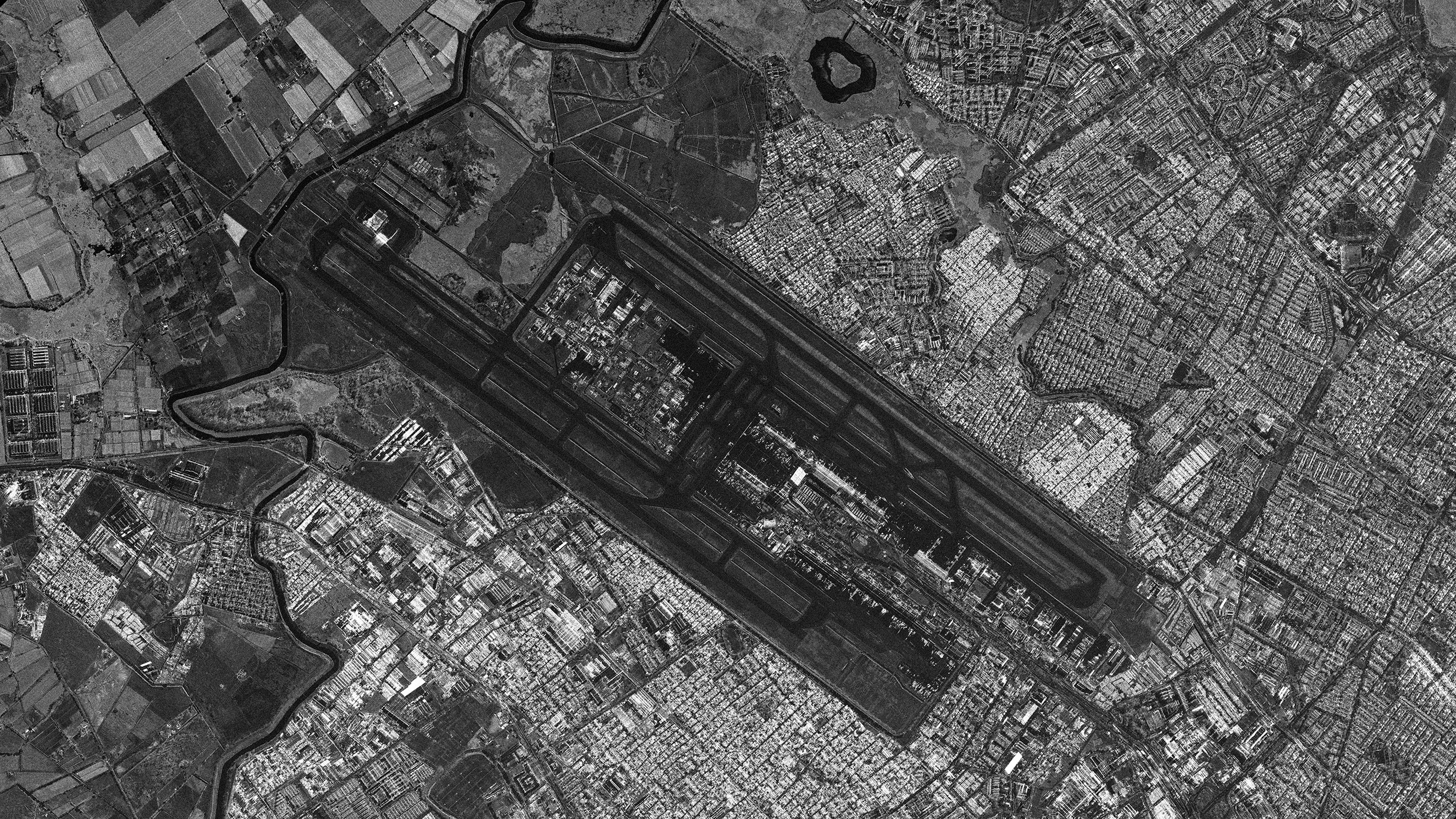
El Dorado International Airport, Bogota/Colombia
If you would like to download sample images from Synspective’s small SAR satellite, StriX, please fill out the following form:
Details
Note : For detailed product specifications, please refer to the latest SAR Data Product Guide.
Date and time:2025/09/20(UTC)
Country : Colombia
Product/Data format : GRD/GeoTiff , SR-GRD/GeoTiff , SLC/SICD , SLC/CEOS
Lat : 4.702530909703226 Lng : -74.14519737355121
Satellite : StriX
Modes : Sliding Spotlight 2
Length [km]: Swath 10 x Length 10
Resolution [m]: 0.46 × 0.5
Tags : #InfrastructureManagement #Colombia #Airport #City