

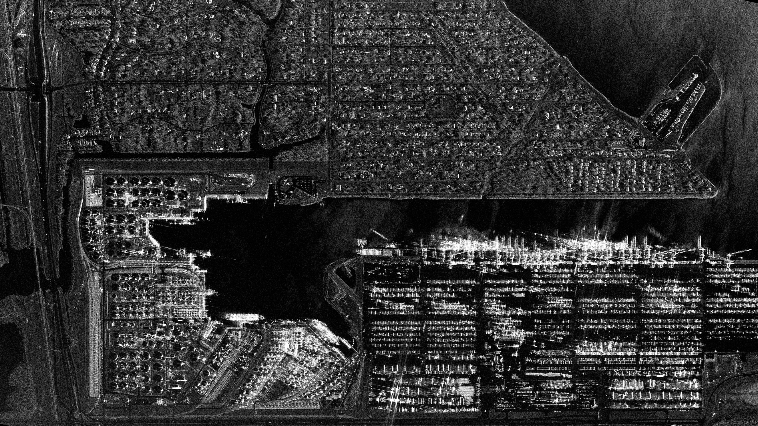
Houston Port/USA
If you would like to download sample images from Synspective’s small SAR satellite, StriX, please fill out the following form:
Details
Note : For detailed product specifications, please refer to the latest SAR Data Product Guide.
Date and time:2025/06/05(UTC)
Country : USA
Product/Data format : GRD/GeoTiff , SR-GRD/GeoTiff , SLC/SICD , SLC/CEOS
Lat : 29.6130061332032 Lng : -95.01160290200869
Satellite : StriX
Modes : Staring Spotlight 2
Length [km]: Swath 10 x Length 3
Resolution [m]: 0.9 × 0.25
Tags : #InfrastructureManagement #Maritime #Port #Houston #Coastline #Bridge #City