

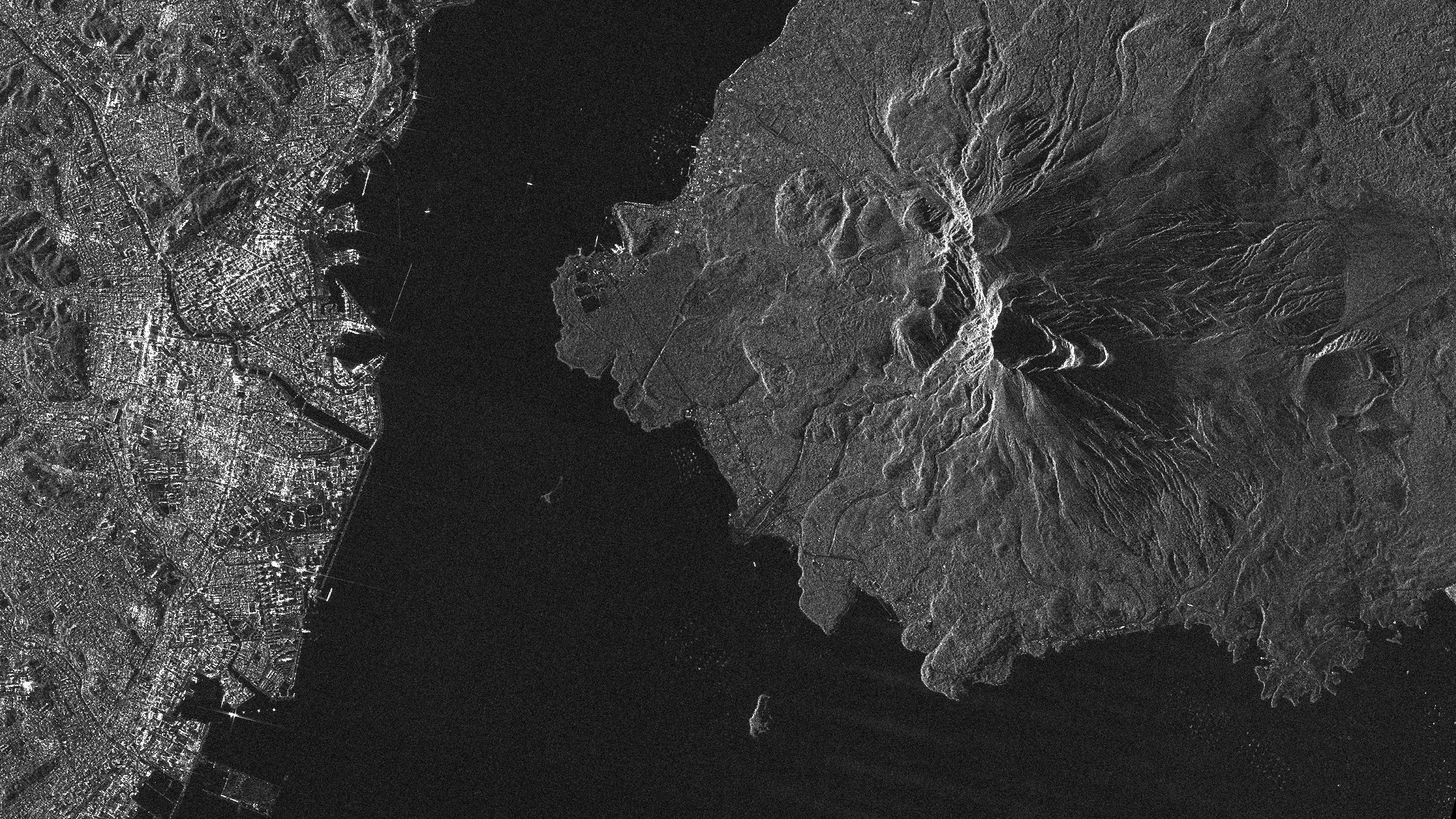
Sakurajima/Japan
If you would like to download sample images from Synspective’s small SAR satellite, StriX, please fill out the following form:
Details
Note : For detailed product specifications, please refer to the latest SAR Data Product Guide.
Date and time:2023/01/29(UTC)
Country : Japan
Product/Data format : GRD/GeoTiff , SR-GRD/GeoTiff , SLC/SICD
Lat : 31.5960 Lng : 130.6171
Satellite : StriX
Modes : Stripmap
Length [km]: Swath 10-30 x Length 50-70
Resolution [m]: 3.6 × 2.6
Tags : #InfrastructureManagement #DisasterManagement #KagoshimaBay #Kagoshima #Volcano