

Synspective Inc., a leading provider of Synthetic Aperture Radar (SAR) satellite data and analytics solutions, is pleased to announce that it will begin offering analysis solutions using data from the Advanced Land Observing Satellite Daichi-4 (ALOS-4), operated by the Japan Aerospace Exploration Agency (JAXA). The company will announce the start date for ALOS-4 SAR data provision once finalized.
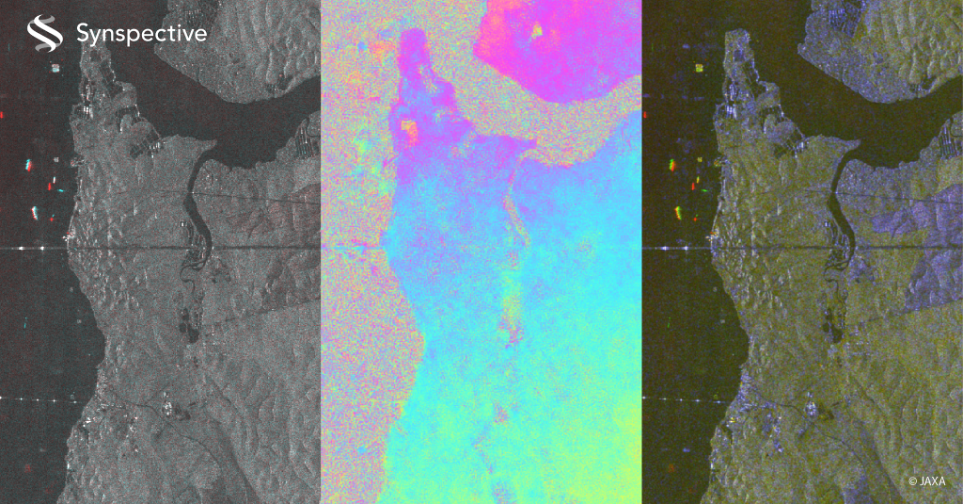
SAR satellite data enables ground observation regardless of weather conditions or time of day, making it valuable for addressing challenges across multiple industries.
However, its analysis has traditionally required specialized expertise. To democratize access to SAR technology, Synspective has been expanding its solution-providing capabilities to make this powerful data accessible to users without technical backgrounds.
Land Displacement Monitoring (LDM): Achieving More Precise Monitoring with Increased Observation Frequency
Synspective’s Land Displacement Monitoring (LDM) solution detects millimeter-level ground displacement across wide areas using SAR data. The service already supports infrastructure, dams, and mining operations by utilizing data from JAXA’s Daichi-2 (ALOS-2).
By incorporating Daichi-4 data, the update frequency will increase significantly from approximately three times a year to up to 20 times per year (in Japan only). This enhanced frequency enables more timely detection of ground displacement, further advancing safety management for critical infrastructure, including tunnels and dams. Furthermore, by combining this with the archived data accumulated by Daichi-2, long-term displacement trend analysis will also be possible.
Embankment Detection: Contributing to the Early Detection of Hazardous Embankments by Leveraging the Strengths of L-band to Penetrate Vegetation
Following the enactment of the “Embankment Regulation Act” in the wake of the 2021 illegal embankment disaster, a nationwide comprehensive inspection of hazardous embankments is now required. Many local governments already utilize Synspective’s embankment detection service to expedite investigations.
Daichi-4’s L-band SAR can penetrate vegetation, making it optimal for detecting newly created embankments by accurately capturing ground surface changes, even in Japan’s densely vegetated mountainous regions. The increased observation frequency is also expected to significantly improve detection accuracy and efficiency by enabling optimal data selection while avoiding snow-covered periods.
About Daichi-4 (ALOS-4)
ALOS-4 is JAXA’s satellite launched via the H3 Launch Vehicle No. 3 from the Tanegashima Space Center. Equipped with an advanced L-band Synthetic Aperture Radar, it builds on ALOS-2’s foundation to deliver world-leading resolution and observation coverage.
For more information, please visit JAXA’s website: https://www.satnavi.jaxa.jp/files/project/alos4/en/