

Synspective Inc., a provider of Synthetic Aperture Radar (SAR) satellite data and analytics solutions, co-hosted a workshop in Jakarta, Indonesia, to present results from a land displacement monitoring platform using satellite data. The event was held in collaboration with Oriental Consultants Global Co., Ltd. and PT MRT Jakarta, the operator of the Jakarta Mass Rapid Transit.
The workshop was conducted as part of the “Smart JAMP (Feasibility Study for Implementing Smart Cities)” project supported by Japan’s Ministry of Land, Infrastructure, Transport and Tourism (MLIT). The Smart JAMP project is a Japanese government initiative focused on applying advanced technologies to infrastructure construction and maintenance management. During the session, the partners reported on the project’s results.
■ Background and Objectives
Land subsidence has become a critical urban challenge in the Jakarta metropolitan area, raising concerns regarding its impact on existing infrastructure and the expanding railway network. To address this, Synspective has provided millimeter-level ground deformation analysis data from its small SAR satellite constellation. By integrating this data with OC Global’s Integrated GIS Platform, the project has established a wide-area, high-precision monitoring system. The goal of this initiative is to apply these advanced technologies to actual infrastructure construction management, supporting safe and efficient urban development.
■ Workshop Highlights
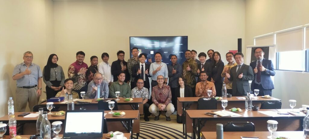
Approximately 50 participants attended the Jakarta workshop, including representatives from PT. MRTJ, the Geospatial Information Agency of Indonesia (BIG), the National Disaster Management Authority (BNPB), local construction companies, the Japanese Embassy, and the Japan International Cooperation Agency (JICA).
– Validation of High-Precision Analysis: Results from the demonstration on the MRT North-South Line (between Harmoni and Mangga Besar) confirmed that the SAR satellite analysis data aligned with on-site survey results with high accuracy.
– Wide-Area Risk Monitoring: By capturing a wide area of land displacement trends around the district, the project demonstrated the ability to manage risks over a wide area, a task difficult to achieve with conventional ground-based sensors alone.
– Platform Demonstration: A demonstration of OC Global’s Construction Management Platform showcased the ability to integrate real-time location data of Tunnel Boring Machines (TBM) with surface displacement data on 2D and 3D maps. Attendees recognized the ability to compare satellite analysis with on-site survey data as a next-generation tool for infrastructure management.