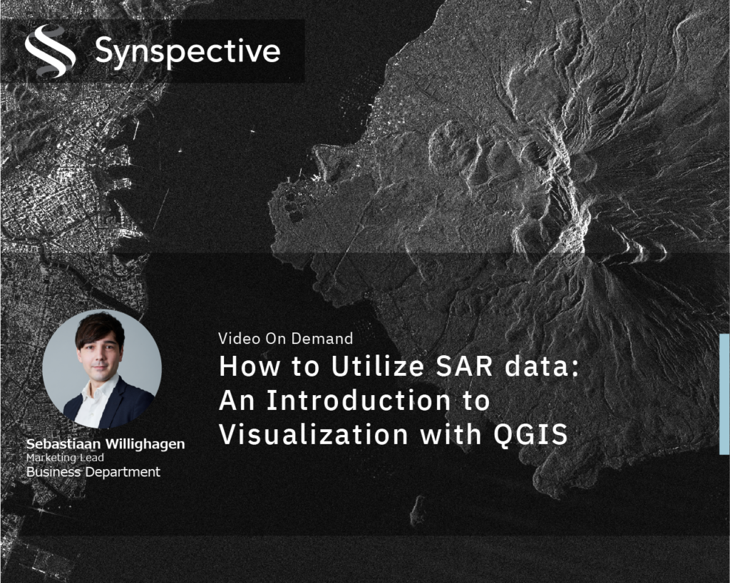
This on-demand tutorial guides you through the essential techniques for visualizing and analyzing SAR data in QGIS. Learn how to use QGIS tools to extract meaningful insights from SAR satellite imagery and apply them to your own projects.
You will learn how to:
- > Set up QGIS for SAR Data Visualization
- > Understand and Adjust SAR Image Properties
- > Enhance Visualization and Interpretation


