

![]()
Press Release
2021, April 21st
Synspective Inc.
Japanese Space Industry Startup
Synspective Released “Sinkhole Detection Feature*”
by Using Satellite Data Analysis
“Sinkhole Detection” to Identify Potential Sink Areas is a new feature added to the “Land Displacement Monitoring” service
TOKYO-2021, April 21st – Synspective Inc., a SAR satellite data and analytic- solution provider, released “Sinkhole Detection Feature*” which predicts ground sinking area.
■About Sinkhole Detection Feature*
In recent years, sinkholes have been occurring in various places around the world. These sinkholes are often caused by human activities (underground tunneling, oil/gas pumping, underground coal drilling, groundwater pumping, etc.). When these sinkholes occur in residential areas, they can cause significant damage to buildings and sometimes even loss of life.
The sinkhole detection function developed by Synspective is a unique prediction algorithm that uses data science and machine learning to combine and detect the characteristics of spatial and temporal variations. With this technology, it is possible to identify “areas where sinkholes are likely to occur in advance”, “areas where cave-ins have occurred”, and “areas where cave-ins are in progress after they have occurred”.
This function will be implemented in “Land Displacement Monitoring,” a solution service announced last year, that analyzes ground deformation over a wide area, using satellite data. The input data is automatically updated, and the platform handles the processing and analysis of the complex satellite imagery. Since it can be viewed in a web environment, it can be checked at any time from the office as well as from the field.
**Application Filed: PCT/JP2021/003312

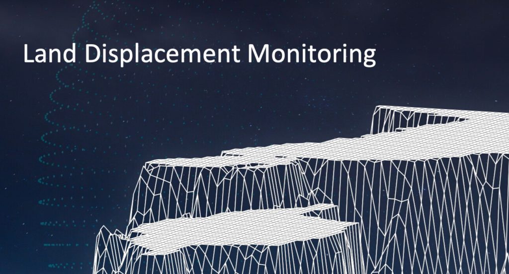
■About “Land Displacement Monitoring” Service
The “Synspective Land Displacement Monitoring” service originates from InSAR*1 analysis that is capable of detecting timely vertical land displacement, in millimeters, over a wide area. This Service enables periodical observation and understanding of land subsidence and deformation.

©Mapbox, ©OpenStreetMap and Improve this map, ©Copernicus Sentinel data [2017-2020], ©Synspective Inc.
It takes a lot of time and labor to understand the risk of land subsidence and landslides over a wide area. By leveraging Synspective’s new service, cost and time is reduced, when compared to the traditional observation and control techniques associated with these ground change risks. This new service’s expected use is multifaceted and can be applied in many land risk management projects such as construction projects, airport maintenance projects, and subway development projects, among others. In addition, remote area/site surveying can be extremely relevant in disaster struck areas where human access is restricted or dangerous, or where social movement is restricted due to the recent COVID-19 virus impact.
Synspective offers this solution on a subscription basis through a SaaS(solution as a service) format.
※1 InSAR(Interferometric Synthetic Aperture Radar): A technical method for investigating changes in the ground surface. Changes in the ground surface can be detected by processing the observation data of the AOI multiple times under the same conditions. This makes it possible to detect millimeter-scale deviations on the ground surface over a wide area without installing a device onsite.
■Synspective Webinar
This webinar will outline the effective ways to hedge the ground deformation risks using the “Land Displacement Monitoring” solution for ground subsidence risk management related to the “Sinkhole Detection Feature.” The webinar will introduce more specific use cases, so please join us.
Topic:
Land Displacement Monitoring (LDM):
Satellite-based ground deformation monitoring as risk mitigation during construction
Date & Time: Tuesday, May 18, 2021, 14:00 – 14:30 in Singapore Time
Viewing time: 30 minutes
Method of delivery: Online (Zoom)
Click here to register
■About Synspective
Synspective provides one-stop-solutions using geospatial data from its own SAR satellites, upon its mission to create a progressive world based on real data. The core technology was developed by the ImPACT program led by The Cabinet Office, Government of Japan. Synspective is building a constellation of its own small SAR satellites and to provide its data and analytic information to governments and commercial outfits.
URL: https://dev.synspective.com/stargazer/
【Media Contact】
Synspective PR