Solution Overview
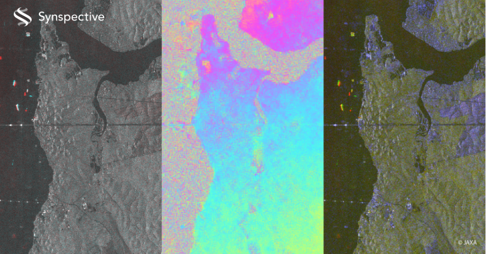
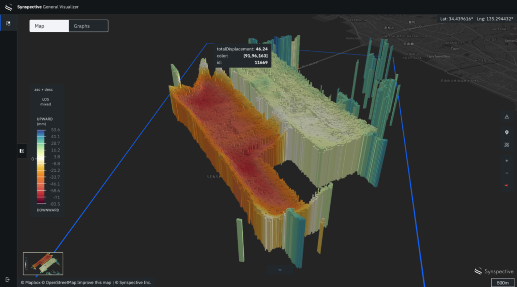
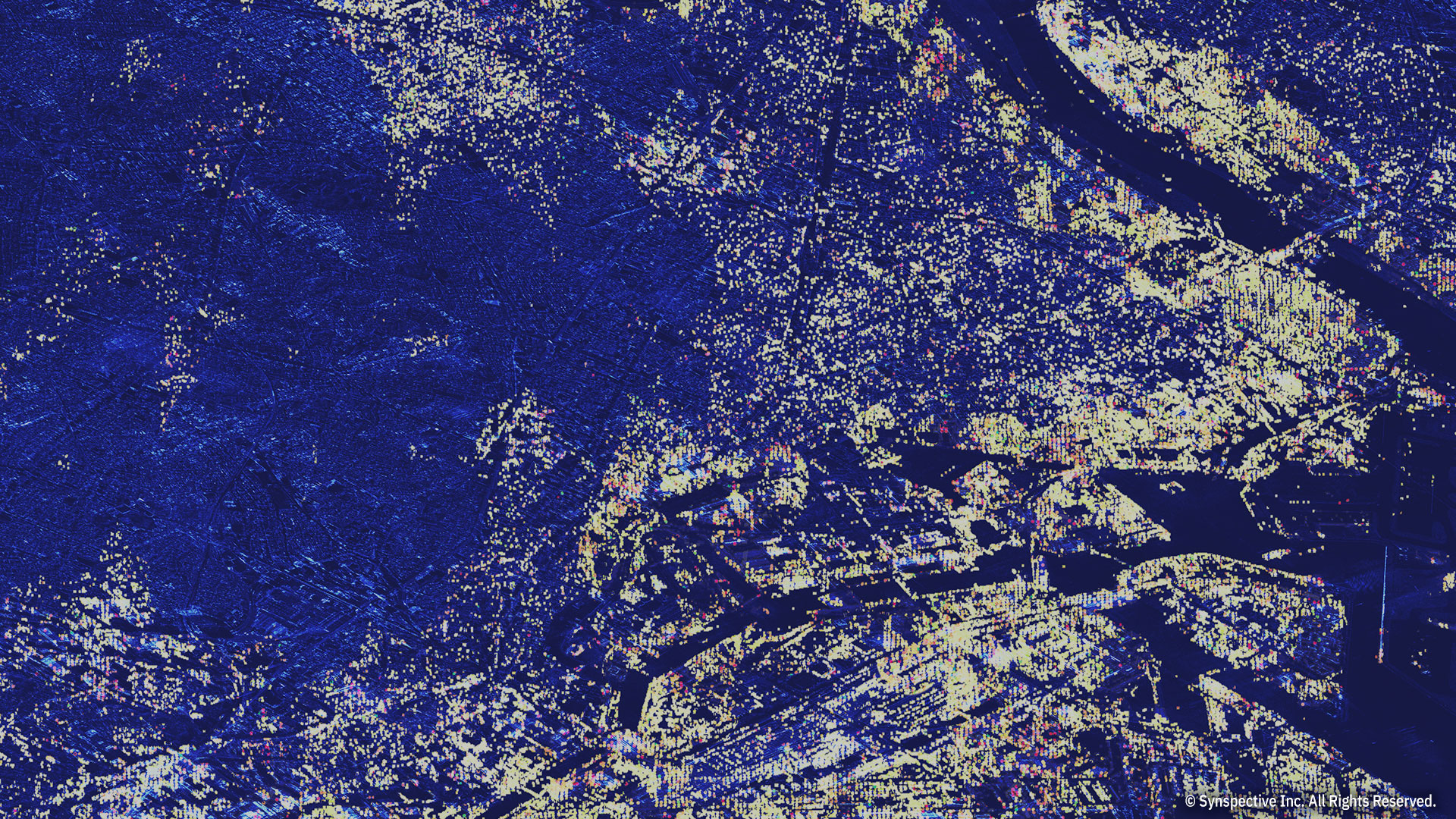
Land Displacement Monitoring Solution originated from InSAR*2 analysis and is capable of detecting timely vertical land displacement, in millimeters, over a wide area. In addition, this service enables periodical observation and understanding of land subsidence and deformation.
*InSAR:Interferometric SAR. The technology to detect land displacement with mm accuracy.

Assumed Issues
- Excessive time and personal expenses needed to evaluate land displacement across a wide area.
- Despite some mobility restrictions, this service can be used in areas that are difficult to physically enter during a disaster or where a remote site survey is necessary.
Benefits and Outputs
- Cost reduction compared to existing methods.
- Greatly reduce the lead time for surveys.
- Improve the frequency of maintenance and management.
This Solution Would Support
- Road, tunnel and railway construction: land subsidence/uplift, landslide
- Construction management: landfill, cutting, land elevation, soil improvement
- Public facility management: ports, airports
- Disaster prevention facility management: dike, breakwater, seawall
- Energy and resource development: dam, electricity, oil, gas, mineral