

The Scenes and Signals series has examined SAR capability across data fusion, change detection, and disaster response, primarily from the vantage point of the US market. In this installment, Synspective’s Latin America lead, Tata Lacale, opens a new thread focused on the region, with further pieces to follow on specific markets, use cases, and regional dynamics.
The arc of the last two years is easiest to see in the Amazon. Brazil’s National Institute for Space Research reported forest clearing in the twelve months to July 2025 at its lowest level in more than a decade, an 11 percent decline according to the PRODES (Program for Monitoring the Brazilian Amazon Forest by Satellite) monitoring system. The same research that confirmed the decline in clear-cutting also documented a sharp rise in forest degradation, driven largely by fire and selective logging, processes that are harder to see from standard optical satellites and that routinely hide beneath cloud cover. In parts of the Amazon, cloud cover persists for more than 80 percent of the year, and much of this degradation happens at night or under weather that optical systems cannot see through.
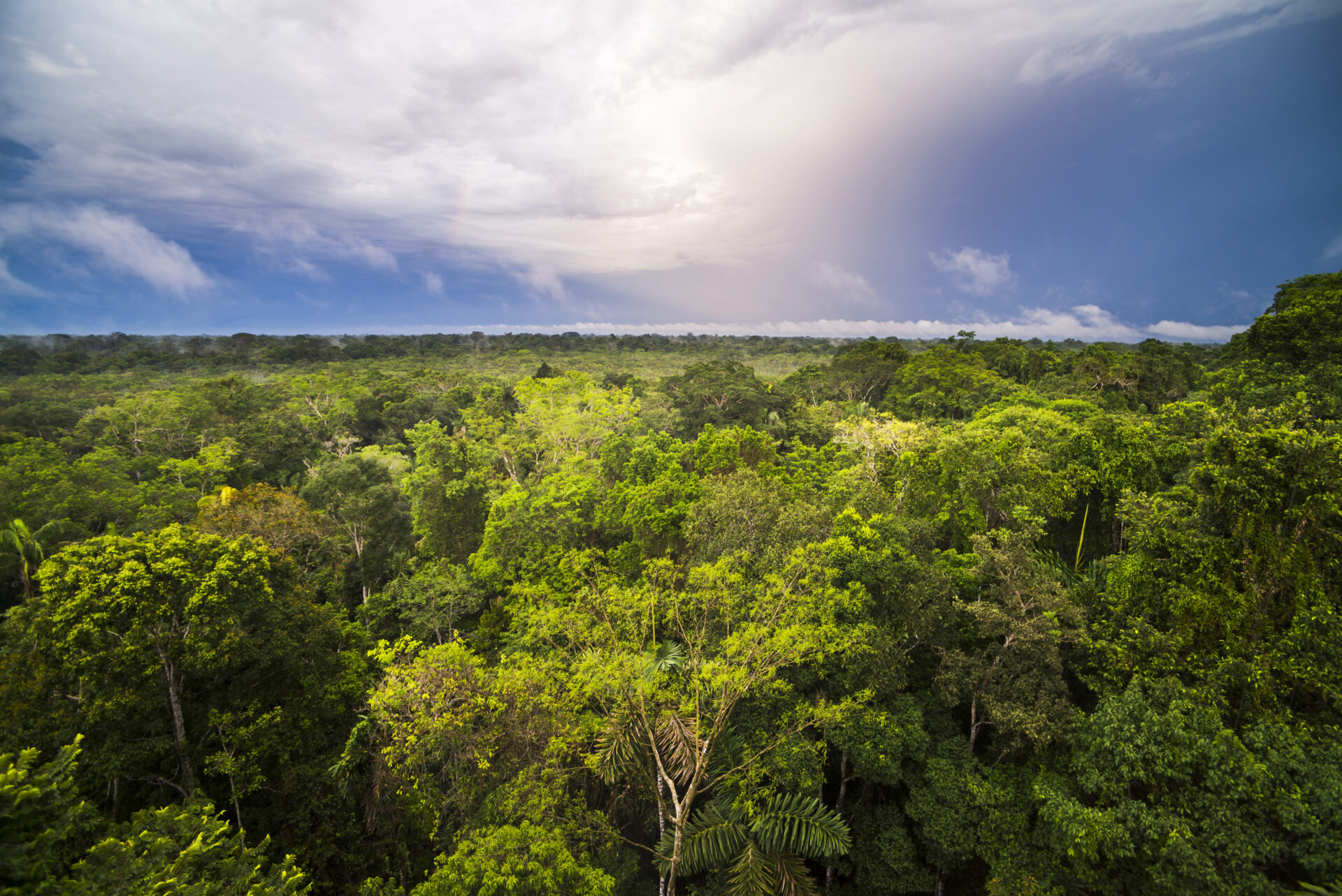
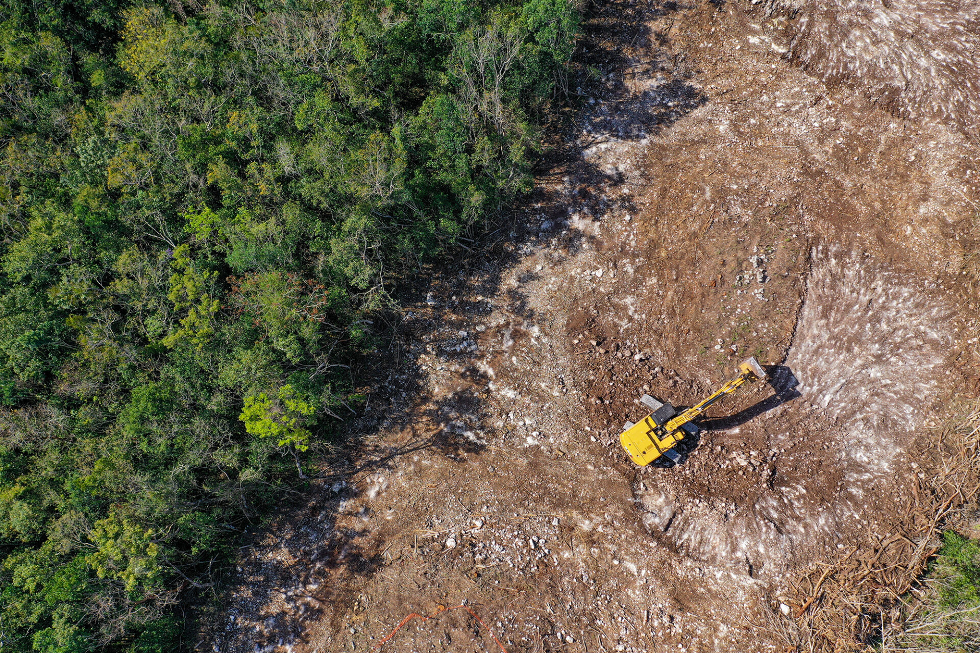
Radar passes through cloud and darkness, and when tasked with a high revisit frequency, it delivers continuity. The most useful way I have found to explain change detection to a customer new to satellite data is that it is before-and-after pictures from space, taken often enough and reliably enough that you can respond to what you see within hours rather than weeks. The shift in latency and availability is the real change of the last few years. When an illegal runway appears in a protected area, when a pipeline shows signs of encroachment, when a landslide blocks a road into a disaster zone, satellites can see it within hours. What remains challenging is whether the agency responsible has the workflow, the license, and the authority to act on the image.
Customers across the region are converging on a common set of problems. Illegal deforestation and agricultural expansion sit at the top of the list for environmental agencies across the Amazon basin. Illegal mining is a growing concern that cuts across environmental enforcement, law enforcement, and, in some cases, national security. Most of what we see is gold, with activity documented across Brazil, Colombia, Peru, and Venezuela. Operations typically begin as small camps along rivers and expand into clearings, pits, access roads, and illegal runways for moving supplies and gold out. Dredges on the rivers churn sediment and contaminate waterways. Each of these signatures, exposed soil, linear features, and unusual backscatter from disturbed riverbeds, is visible to SAR, and time-series analysis lets analysts distinguish a growing mining site from a natural clearing.
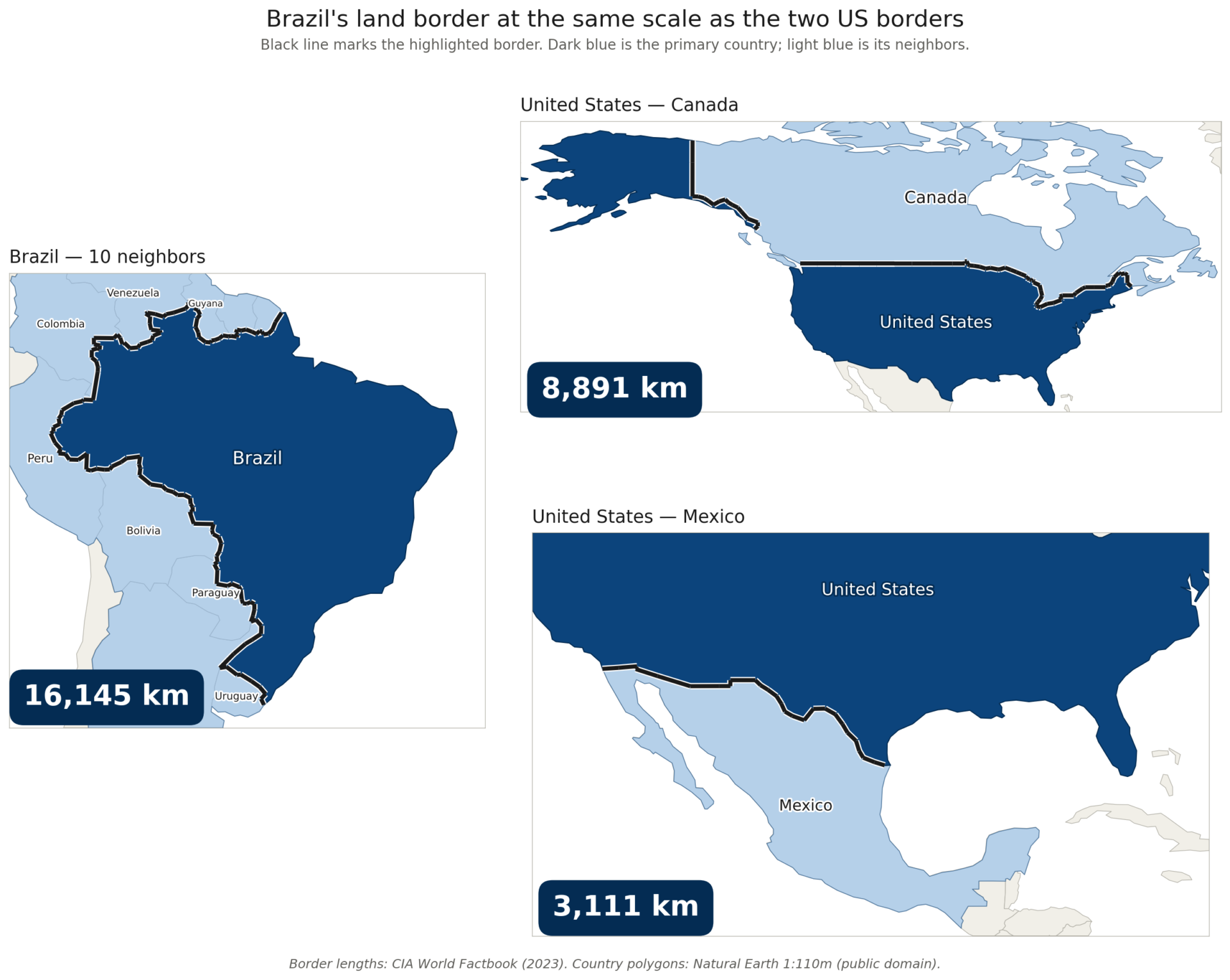
Energy infrastructure integrity is a priority for utilities in Brazil, Chile, and Argentina, where transmission corridors and pipelines run for thousands of kilometers through terrain difficult to patrol by ground or air. A typical case is a transmission or pipeline operator using SAR to monitor the right-of-way for vegetation encroachment and unauthorized construction, both of which can threaten service. SAR detects changes in canopy density and new linear or rectangular structures beneath cloud, which lets the operator clear vegetation or halt construction before it endangers the line. Border security and situational awareness across vast remote areas is a fourth category, anchored by geographies like Brazil’s land border with its ten neighbors, which runs more than 16,000 kilometers, roughly twice the length of the US-Canada border, five times the US-Mexico border.
Each country emphasizes the mix differently, but the underlying drivers are consistent. Countries want to protect natural resources, ensure energy security, and address environmental crimes, and these three concerns increasingly overlap. Subsequent pieces in this series will look at some of these use cases in more depth.
Synspective’s work in Latin America is expanding through a combination of direct engagement on national security and defense programs and local partnerships for last-mile integration with commercial and governmental end users.
The pattern I keep encountering is consistent. The capability exists, the use cases are clear, and the buyers are ready. What they need is institutional infrastructure to match the tempo of the problem, and that infrastructure is being built. Procurement systems are adjusting to automated data pipelines, analysts are being trained to work with radar, and workflows are being rebuilt around a weekly or daily satellite pass rather than an annual survey. When these adjustments settle, change detection will stop being a tool that agencies reach for during crises and become a layer of the infrastructure they operate on every day.
—–
Tata Lacale Canal leads Synspective’s business in Latin America from Rio de Janeiro and brings more than two decades of experience in commercial Earth observation and SAR data services across the region.