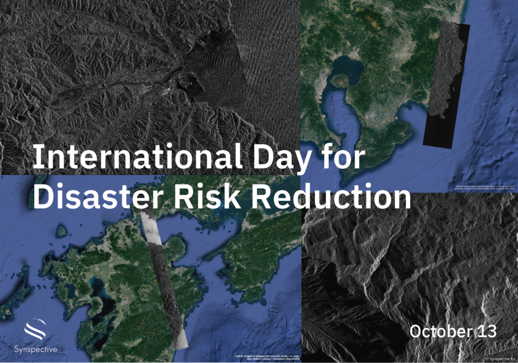
In recent years, the number of natural disasters has been increasing worldwide. According to the World Meteorological Organization (WMO), the number of weather-related disasters such as storms, floods, and droughts has increased nearly fivefold in the 50 years between 1970 and 2019 *1. Japan takes a proactive approach to disaster prevention, experiencing approximately 18% of the world’s earthquakes (magnitude six or greater) *2. In Japan, September 1 is ‘Disaster Prevention Day,’ which encourages people to check evacuation sites and stockpiles at home and work and reinforces the importance of preparedness in the face of potential disasters. October 13 is International Day for Disaster Risk Reduction. It was established in 1989 in response to a call by the United Nations General Assembly to promote a global culture of crisis awareness and disaster reduction.
Synspective pursues innovation in solutions, from developing and operating small SAR satellites to analyzing SAR data with stakeholders. SAR satellites use radar (microwaves) and, unlike optical satellites, can observe the ground surface with high accuracy day and night, regardless of weather conditions. This data can be comprehensively used in response to natural disasters, such as providing information during disasters, understanding before and after changes, and assisting in formulating recovery plans.
In addition to developing satellites and providing SAR data, we offer one-stop solutions such as Land Displacement Monitoring (LDM) to monitor ground deformation, Flood Damage Assessment (FDA) to analyze flood damage, and Disaster Damage Assessment (DDA) to analyze environmental changes caused by disasters.
Synspective has been using our SAR satellite, StriX, to observe and analyze areas affected by multiple earthquakes and floods, including the Noto Peninsula Earthquake on January 1, 2024. We have provided these images to governments and private companies to support their disaster response and recovery efforts.
*1 WMO Atlas of Mortality and Economic Loss from Weather, Climate and Water Extremes (1970–2019)
https://library.wmo.int/viewer/57564?medianame=1267_Atlas_of_Mortality_en_#page=1&viewer=picture&o=bookmarks&n=0&q
*2 Knowing the Land / Surprisingly Unknown Land of Japan (Japan Institute of Country-ology and Engineering) )
https://www.jice.or.jp/knowledge/japan/commentary12
◼️Observation Cases
① Japan: Noto Peninsula Earthquake
Date of disaster: January 1, 2024
Observation Date: January 7, 9, 10, 13,14, 15 and more
After the Noto Peninsula earthquake at the beginning of the year, we deployed StriX to capture images of the region over several days. Within three days, we successfully imaged the entire Noto Peninsula. In areas where archived images were available, we analyzed changes in the ground surface that were extracted before and after the disaster. We provided our SAR data at no cost for disaster response, reporting, and research.
・For more details:https://synspective.com/information/2024/noto-peninsula-earthquake-02/
・Analysis results:https://synspective.com/jp/usecase/2024/noto_dda_01/
 |
 |
| January 7, 9, 10 Noto Peninsula observation area |
January 13, 14, 15 Noto Peninsula observation area |
 |
 |
| Anamizu | Nanao |
Maps Data: Google © 2024, © Synspective Inc.
② India: Kerala Wayanad District, Landslide
Date of disaster: July 30, 2024
Observation Date: July 31, 2024
On Tuesday, July 30th, a large landslide occurred in the mountainous region of Wayanad District, Kerala, Southern India. Synspective acquired SAR images of the affected area on July 31st and made them available to Indian rescue authorities to support their efforts.

③ Japan: Miyazaki prefecture Hyuga-nada, Earthquake
Date of disaster: August 8, 2024
Observation Date: August 8, 2024
At 4:43 PM on August 8, an earthquake of magnitude 7.1 hit Hyuga-nada, Miyazaki Prefecture. After this incident, the Japan Meteorological Agency issued an emergency notice on the Nankai Trough earthquake (giant earthquake warning). Shortly after the earthquake, at 5:30 PM on August 8, Synspective’s SAR satellite StriX observed Nichinan City in Miyazaki Prefecture, close to the epicenter.

④ Japan: Iwate prefecture Kuji City, Typhoon
Date of disaster: August 12, 2024
Observation Date: August 11-12, 2024
Typhoon Maria landed near Ofunato City in Iwate Prefecture on August 12. Due to rising water levels at the Kuji River, we conducted an emergency water discharge at the Taki Dam in Kuji City. Our StriX SAR satellite captured the changes in water levels around the Kuji River between August 11 and August 12 at 2:00 PM.
 |
 |
| August 11 Kuji City | August 12 Kuji City |
⑤ Nepal: Solukhumbu Region, Flood
Date of disaster: August 16, 2024
Observation Date: August 17, 2024
On August 16, a devastating flood affected Thame Village in the Solukhumbu Region in Nepal. Authorities requested Synspective provide imagery and analysis in support of rescue efforts. StriX collected data on August 17 and sent it to the Nepal government with our land displacement analysis. Our Land Displacement Monitoring (LDM) solution shows possible deformation from July 2024 that could have led to this glacier lake outburst flood.

⑥ Japan: Kyushu Area, Typhoon
Date of disaster: August 29, 2024
Observation Date: August 29, 2024 ~ about one week
On August 29, Typhoon Shanshan landed in the Kyushu area, Japan. Synspective acquired SAR images of the Typhoon-affected areas almost every day for a week and made the data available to the public.

◼️List of some disaster-related observations by StriX in 2024*
- January 7~: Noto Peninsula, Earthquake
- April 18: Kochi Prefecture, Earthquake
- April 2: Kazakhstan, Flood
- May 28-29: Gifu prefectures, Typhoon
- June 3-4: Ishikawa Prefecture, Earthquake
- July 12-13: Ehime Prefecture, Landslide
- July 24: Hokkaido (Ametaki River), Heavy rain
- July 31: India Kerala, Landslide
- July 28, 29, 31: Akita to Yamagata (Mogami River), Heavy rain
- August 9: Miyazaki Prefecture, Earthquake
- August 11-12: Iwate Prefecture Kuji, Typhoon
- August 17: Nepal Solukhumbu district, Flood
- August 17: Chiba Prefecture, Typhoon
- August 26: Northern Thailand, Flood
- August 29: Kyushu area, Typhoon
- September 17: Poland, Flood
- September 21-22: Noto Peninsula, Heavy rainfall
*Dates listed are observation dates
◼️Downloading SAR Data
Sample SAR images are available for free. Please download the sample data from our Synspective Data Gallery.
Please note that you must enter your email address and other information.
Synspective Data Gallery: https://synspective.com/jp/gallery/


