


Partner with Synspective
At Synspective, not only do we design and build our StriX constellation of Synthetic Aperture Radar (SAR) satellites, but we also leverage data science and AI to solve industries’ geospatial problems. Become our partner to enhance your geospatial capabilities with InSAR and add value to your customers in the Infrastructure, Energy, and Environmental sectors.
Become our Partner
- Enhance your portfolio of offerings with our InSAR analytics solutions
- Collaborate in the development of innovative products and services
- Enjoy co-marketing and sales opportunities and even more
Synspective Platform API
Besides our proprietary visualization platform, we offer a comprehensive API that allows third-party applications to access displacement monitoring results and trigger analysis from their side. For every selected area of interest, generate an automatic summary of the average displacement, total displacement, number of persistent scatterer points, and available timestamps.
InSAR Analysis Capabilities
InSAR stands for Interferometric Synthetic Aperture Radar. It is a remote sensing technique that uses radar data to measure land displacement and evaluate ground risks at a millimeter scale over a wide area.
Benefits and Outputs
- Cost reduction compared to existing methods.
- Greatly reduce the lead time for surveys.
- Improve the frequency of maintenance and management.
- Persistent 24-hour monitoring.
- Easy monitoring of remote or hazardous areas.
InSAR Data Analysis Use Cases
For Civil Engineering Design Consulting Companies: A Guardian Eye on Infrastructure

Proactive problem-solving is better than reactive damage control. With Synspective’s InSAR data, monitor infrastructure for early signs of damage or deformation. Make informed decisions and implement corrective action long before minor issues escalate into expensive, dangerous problems.
Learn More
For Geological Survey Companies: Mapping a More Sustainable Future

Proactive problem-solving is better than reactive damage control. With Synspective’s InSAR data, monitor infrastructure for early signs of damage or deformation. Make informed decisions and implement corrective action long before minor issues escalate into expensive, dangerous problems.
Learn More
For Mining Companies: Ensuring Safety with Every Data Point

In the mining industry, safety is paramount. Track the real-time movement of tailing dams using our precise InSAR data. This enables you to take immediate action to secure both your operations and the surrounding community.
Learn More
For Oil & Gas Companies: A Comprehensive View on Oifields
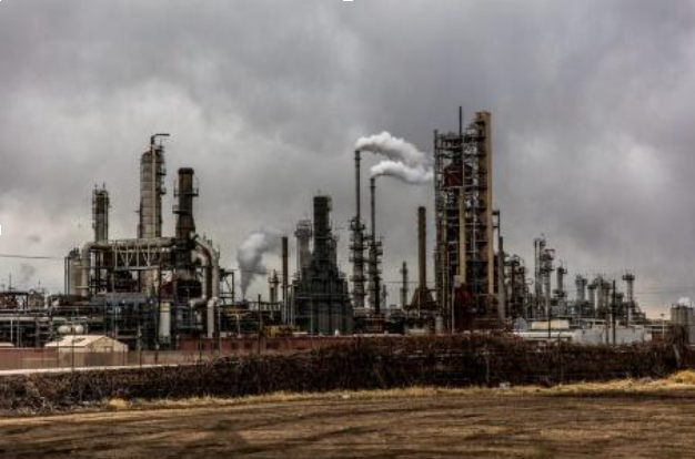
Monitoring oilfields potentially spanning hundreds of kilometers can be challenging and costly. Leverage InSAR data to optimize your production strategy and reduce oil management costs.
Learn More