


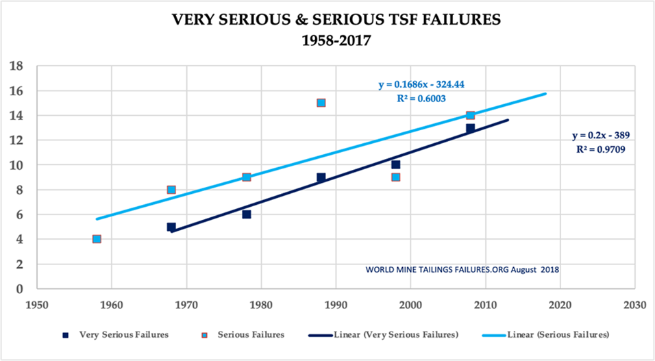
At mining sites, ground changes due to man-made or natural occurrences can create unexpected accidents and disasters, which may also endanger human life. Ground movements and deformation pose major risks to the safety, stability, and efficiency of mining operations. According to a report published in World Mine Tailings Failure, there is a concerning trend of increasing frequency and severity of failure in the mining industry, specifically in tailings store facilities (TSF).
(Source: World Mine Tailings Failure)
Synthetic aperture radar (SAR) satellites can be an effective deformation measurement and monitoring tool for the mining industry. The different Information and Communications Technology (ICT) and IoT solutions have been implemented to realize smart mining operations. However, it is difficult to optimize resources and impact since there are multiple mining plants geographically apart which need to be networked.
Synspective launched its first Land Displacement Monitoring (LDM) service in 2020. It enables cost-effective, ground movement monitoring with millimeter detail through SAR image analysis. Customers can track historical changes, find patterns, and have an advanced understanding of the situation using our cloud-based data platform. With the addition of deep learning algorithms, information is automatically updated to enable customers to derive meaningful insights and make decisions quickly.
Issue
In order to avoid unexpected accidents and disasters, monitoring with GNSS sensors, LiDAR, and drones have become commonplace. However, challenges remain. The range of coverage that can be observed at one time is limited, obtaining data is expensive, and weather greatly affects the timing of observation. Furthermore, it is necessary to go on-site to install equipment and gather data using drones, and the distance between the main office and the mining site makes frequent data acquisition difficult.
Interferometric synthetic aperture radar (InSAR) techniques used in the LDM have proven to be a cost-effective and accurate solution that makes it possible to monitor ground movements with high precision and frequency. We believe data fusion using LDM can create more insights and enable users to ingest their own sensor data to fine-tune the solution.
Solution
We were able to make some promising observations on the dam burst with the interferometric SAR technique in Synspective’s LDM service, which can act as a precursor for an event and support risk prevention and mitigation activities.
Pre- and post-disaster research by the mining company and various scientists concluded that there was seepage around the wall of the tailing dam and ground deformation in the entire dam area. Synspective was able to confirm deformation using the LDM service, which was consistent with other scientific research. Monitoring ground deformation using InSAR provided possibilities of generating ground information over a wide area with greater data density and frequency at a low cost. This will encourage more precise selection for an on-site check once an anomaly is detected.
Synspective believes that the timing of the dam collapse could have been foreseeable, had satellite-based InSAR data been used to observe precursory deformation data from across the site. Using satellite-based monitoring techniques coupled with existing ICT and IoT solutions can help mitigate similar catastrophes in the future. By using a combination of InSAR, Machine Learning, and cloud technologies to enable quick decision making and to support automated processes, anomalous deformations can be detected and action taken before disasters strike. Satellite imagery can also help repair sites after disasters have struck, by providing information on where new risk areas have been created which can then be avoided. SAR Satellite data can be used to explain phenomena around mining sites and offers cost-effective ground deformation monitoring for mining sites.
Satellite images taken from space can do more than just predict or help repair sites after disasters have struck and the data they provide can help a broad range of stakeholders. High-resolution SAR satellite images can detect changes in stockpiles as small as just 3m, which provides vital supply and demand information. Stockpile monitoring allows you to keep track of how much commodity (e.g., iron ore and coal) is stored and shipped with optimal accuracy and latency. Combine this with a machine learning model to quantify any changes and mine operators can be automatically updated with information that lets them make crucial trading decisions quickly.
Indeed, accurate stockpile monitoring can improve the balance between supply and demand and more efficient production methods, which can contribute toward “Responsible Innovation and Production,” number twelve of the UN’s Sustainable Development Goals (SDGs).
In addition to mitigating mining risks, SAR data can be used for monitoring mining activities and production. Satellite monitoring can also help keep track of production levels by providing accurate calculations of the size of pits to help maintain an index of mining production. The area change of the mining pit is calculated at different times. The area may be converted to an index of the mining production.The resolution of the imagery provided is so good that the use of heavy equipment on site can be monitored from space. This is especially important at a time when increasingly larger equipment is being used in mining operations.
Benefits
- Early detection of landslide risks on mine slopes
- Early detection of tailing dam failure risk
- Regular monitoring with alert issuing
- Wide-area coverage monitoring combined with GNSS sensor and drone inspection
- Support for selecting maintenance targets by understanding changes over time
Solution Features
- Able to analyze ground displacement trends in horizontal and vertical directions with millimeter accuracy
- Able to understand historical changes over time with wide-area monitoring capabilities of multiple sites anywhere on Earth simultaneously
- Use of In-SAR analysis technology system (the first technology in Japan able to detect sinkholes)
- Automated analysis
- Intuitive user interface
- PDF Report
Summary
Currently, tailing dams and other mining facilities are being monitored using a combination of methods, including the use of survey monuments, inclinometers, piezometers, and ground-based radar. However, we acknowledge that none of these methods have been reported to show significant deformations or any other precursors to failure in past incidences. We show that the timing of the dam collapse would have been foreseeable based on the observed precursory deformation using satellite-based, interferometric synthetic aperture radar (InSAR) data to assess the course of events. We conclude that satellite-based monitoring techniques with existing ICT and IoT solutions can help mitigate similar catastrophes in the future.
We at Synspective believe that mining companies can leverage SAR satellite data for efficient operations and resource planning and management. Our services can be used to monitor and understand deformation phenomena around mining sites. LDM service is made with a combination of InSAR, machine learning, and cloud technologies, which enable automated processes, quick decision-making, and alert dispatch over anomalous deformation.
Author’s information

Abhinandan Arya is Vice President of Applied Science at Synspective. He is responsible for leading the core solution research and development using our SAR satellite constellation.
Mr. Abhinandan graduated in Electronics and Electrical with Computer Science and Engineering from the Indian Institute of Technology (IIT) and holds a PGP degree in Artificial Intelligence and Machine Learning from the University of Texas at Austin.