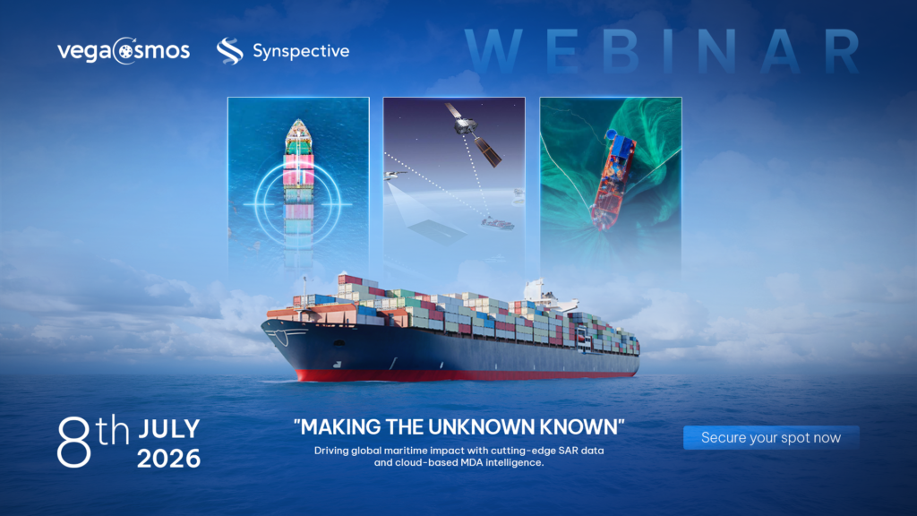
Enhancing Maritime Domain Awareness: <br> Detecting Dark Vessels and Illegal Fishing with SAR Data
2026.06.25 Events
Synspective On-Demand Class | See Beyond the Visible for Better Decision-Making with ALOS-4
2026.03.16 Events
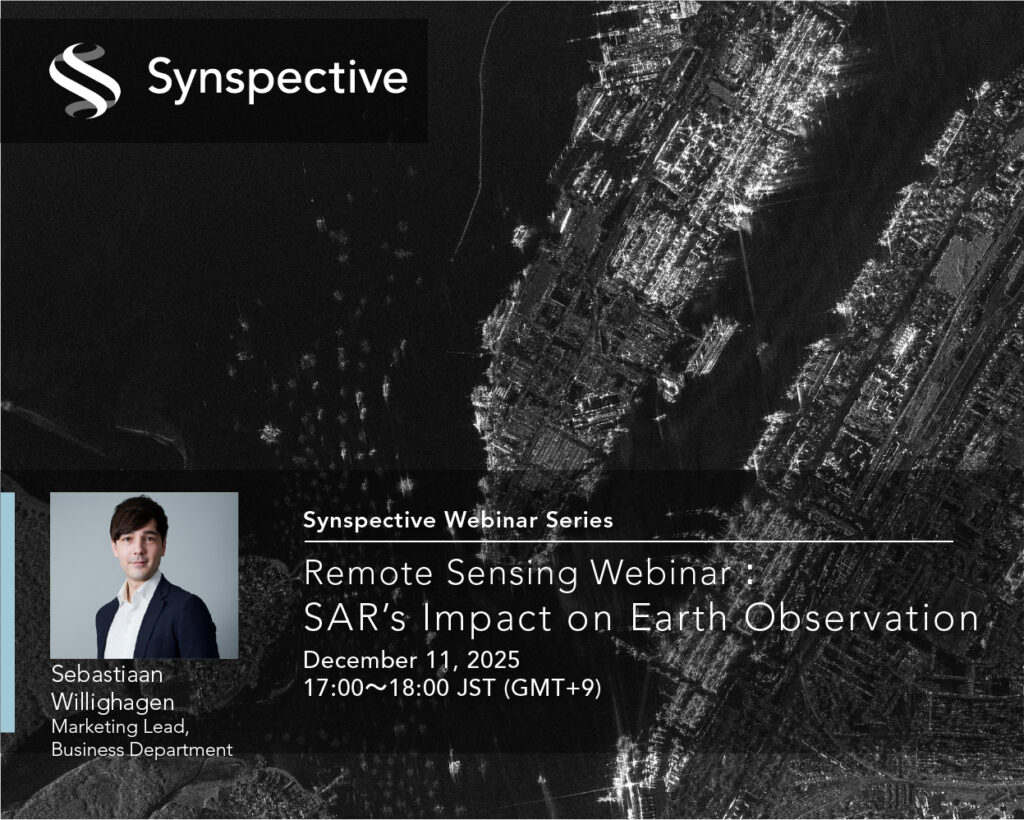
Remote Sensing Webinar: <br> SAR’s Impact on Earth Observation
2025.12.01 Events
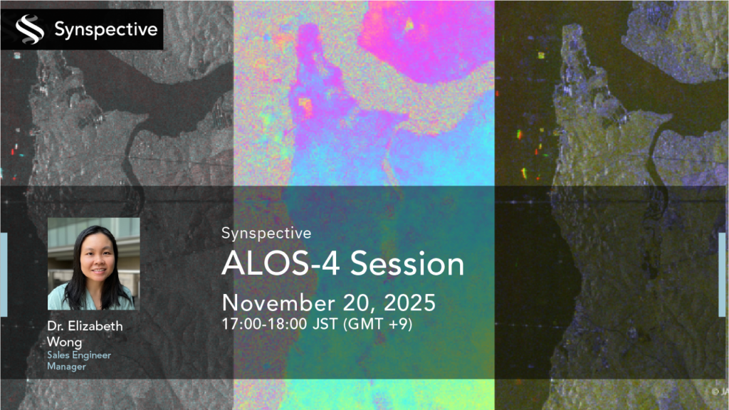
2025.11.17 Events
Synspective : ALOS-4 Session
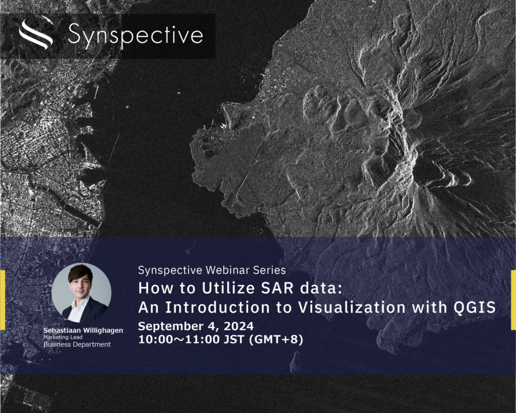
How to Utilize SAR data: </b>An Introduction to Visualization with QGIS
2024.08.21 Events
2024.06.19 Events
2024.02.08 Events
Synspective Webinar Report 003 </br>Mining sites, Using Space Tech for High Precision Ground Deformation Monitoring
2021.12.01 Events
2021.10.12 Events
Synspective webinar series : SAR-Satellite Remote Sensing for Renewable Power Plants
Synspective Webinar Report - 4 things we learned from</br>"Machine Learning-Based Object Detection using SAR Data"
2021.09.09 Events