Synspective is Selected to Participate in the FY2024 Demonstration Project Led by the Cabinet Office to Expand the Use of Small SAR Satellite Constellations
2024.04.05 Information
Synspective and Dynamic Map Platform has been selected for the Small and Medium-sized Enterprise Innovation Promotion Program by the Ministry of Land, Infrastructure, Transport and Tourism.
2024.02.29 Press release
Synspective Signs MOU with the National Remote Sensing Agency of Vietnam and Fujitsu Vietnam to Enhance Natural Disaster Preparedness, Natural Resource Management, and Economic and Social Development
2024.02.08 Press release
Synspective Signs MOUs to Expand into Central Asia with InSAR Seismic Risk Assessment in Uzbekistan and Disaster Solutions in Kazakhstan
2024.01.25 Press release
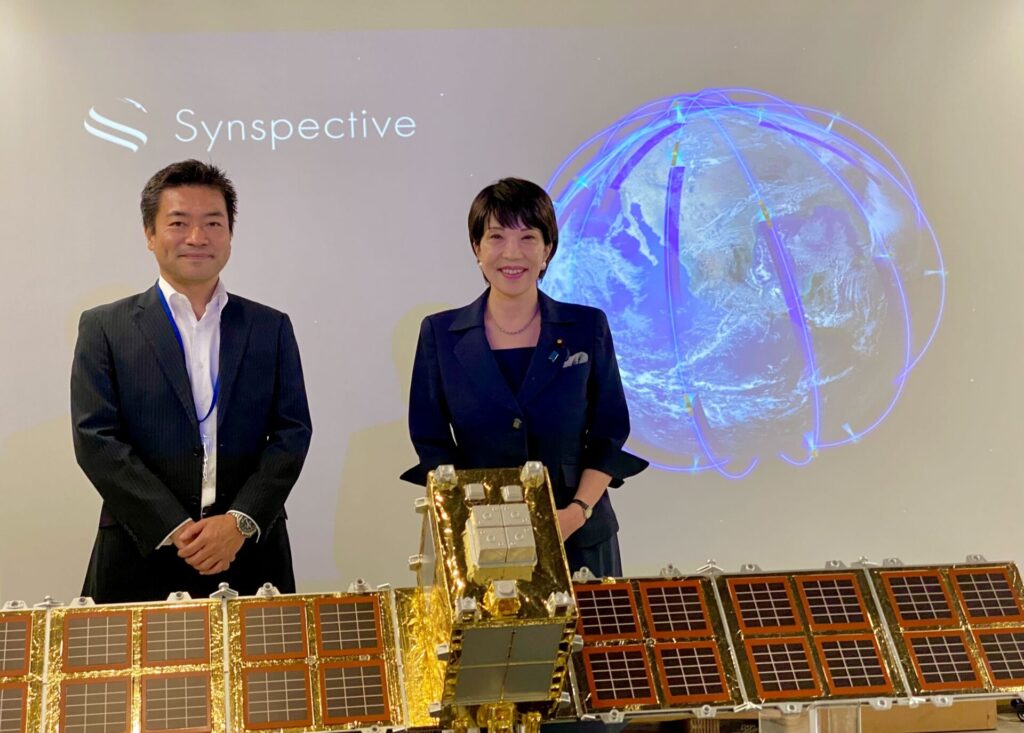
Visit from Sanae Takaichi, Cabinet Office's Minister of State for Special Missions (Space Policy)
2023.09.07 Information
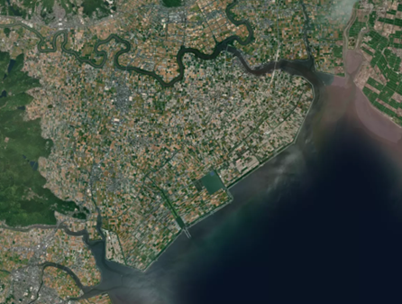
The Sinking of Joshimath How InSAR Can Help Monitor and Mitigate Large City Areas
2023.07.28 Use Case
Synspective Is Appointed as Technology Advisor for GRAVITY Challenge JP by Deloitte
2023.04.11 Information
Earth Observation from Space Synspective Partners with Topcon to Create New Synergy for Satellite Data
2022.12.15 Press release
Synspective and GCRS Announce Partnership for SAR Satellite-Based Risk Analysis Solutions in South Asia
2022.11.15 Press release
Daily radar imaging across Australia – Geoimage signs partnership with Synspective
2022.10.25 Press release
A Use Case for Mitigating Mining Risks with Synspective’s SAR satellites
2022.10.24 Use Case
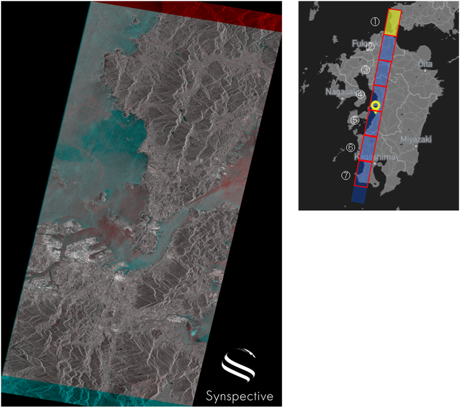
September 2022 Continuous imaging of the Kyushu region with StriX-β
2022/09Continuous imaging of Typhoon Nanmadol in the Kyushu region with Strix-β
2022.10.07 Use Case
Synspective will be exhibiting at INTERGEO 2022
2022.09.30 Events
Synspective will be present at the JAPAN WIND ENERGY 2022
2022.09.29 Events
On Demand Class: Solution introduction "Land Displacement Monitoring (LDM)"
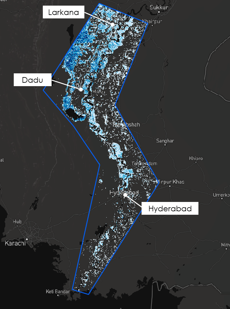
September 2022 Analysis of Heavy Flooding in Pakistan
2022.09.21 Use Case
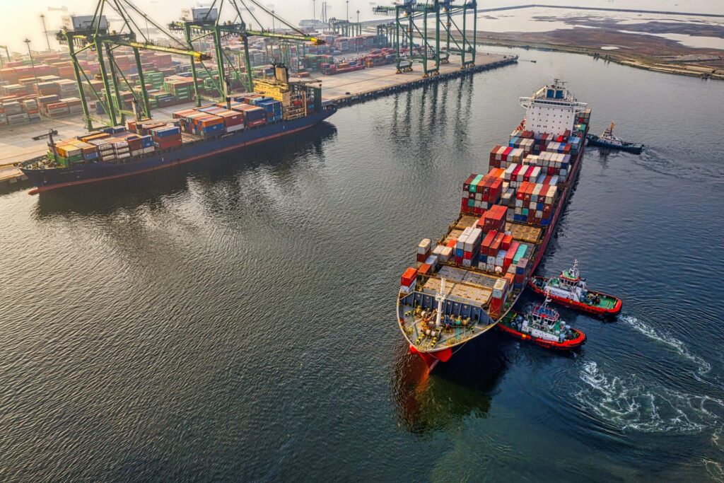
Use Case of Ship Detection Technology with SAR Satellites
2022.09.06 Use Case